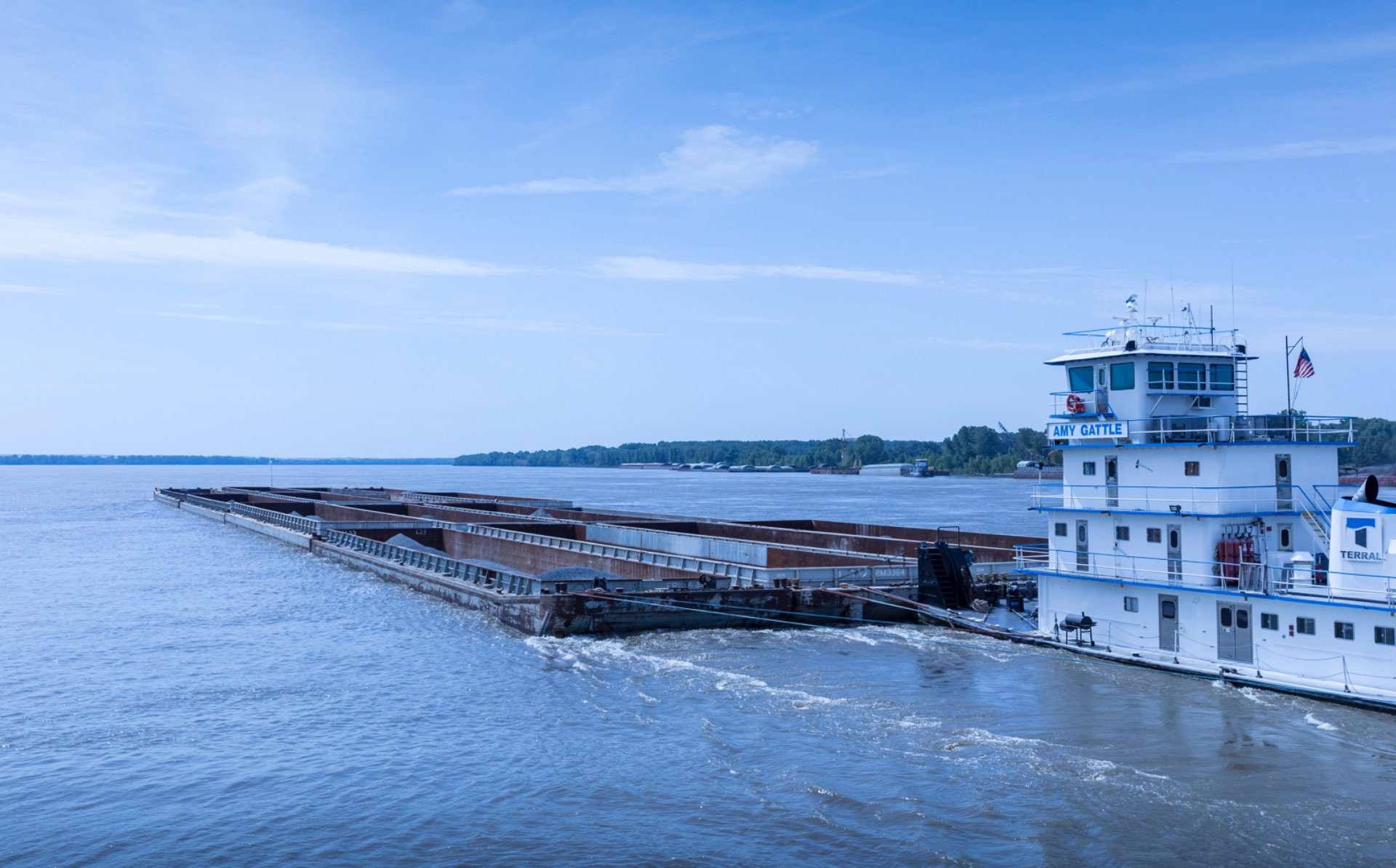
As excessive amounts of rain have poured across the United States, companies operating on the Red River are anticipating impending lock closings and other restrictions on their ability to operate.
Johnny Martin, COO at Terral River Service, along with Vice President of Transportation Gabe Gattle described the current situation as “more serious” than normal high water events, 2001 being the last year these types of water levels were seen.
“As many of our customers know, we are facing extreme high water levels on the Red River,” Martin said. “Locks number 3, 4 and 5 are currently closed and lock number 2 is expected to close sometime this week.”
The company expects the river to crest at Alexandria at around 38 feet early next week and continue at that level for 3 to 4 days.
According to Martin and Gattle, the company is taking extra precaution by only operating their strongest boats and most experienced captains and deckhands in hopes to maintain operation while implementing as much safety as possible.
“We are currently operating with reduced tow sizes to service customers in the Alexandria area until lock number 2 closes,” Martin said. “We are very proud of our captains and crews who have continued to safely navigate the river to make sure our customers get their much-needed cargo.”
Martin and Gattle explained that the primary way Terral is combatting the situation is through communication.
“We are keeping our customers aware of what’s going on and what our capabilities are,” Martin said. “We are always checking the National Weather Service and are giving our customers updates as we can.”
Rich Brontoli with the Red River Valley Association has been conducting weekly call-in updates with the National Weather Service, Corps of Engineers and Industry in an effort to keep everyone informed on changing weather and river conditions.
The marine operations group at Terral will continue to monitor the river stages and communicate to customers any changes regarding river forecasts and lock closures.
Current river stages can be viewed via the following link:
http://water.weather.gov/ahps2/hydrograph.php?wfo=lch&gage=aexl1

